Satellites could soon be used by one county council to monitor traffic flows, journey times and even find potholes it has emerged.
Worcestershire County Council, has entered into talks with British technology company E2E about the potential use of small satellites known as CubeSats to improve upon its GPS system.
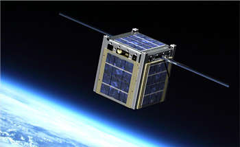
Head of highways at Worcestershire, Jon Fraser, told Transport Network: ‘We are looking at becoming part of a pilot in two years’ time. We are looking at augmenting our GPS info using the CubeSat, so people have the best info for journey times at the moment there are gaps in the system. We are the only local authority involved at the moment.
CubeSat: Highways services but not as we know it
‘We are talking to E2E - who produce the ground-based computer system that talks to the satellites. We originally got in touch because at times of floods we sometimes lose 3G connections go down.
‘We started talking about communications but then we thought this is another step forward. It’s about providing the best end to end journey for the user.’
Funding for the plans has not yet been confirmed although it is understood grants could be available through Innovate UK.
Mr Fraser revealed that the traffic information provided by the satellites could be available through a cheap or free app, which could possibly be given away free to residents that pay council tax as part of smart transport package.
